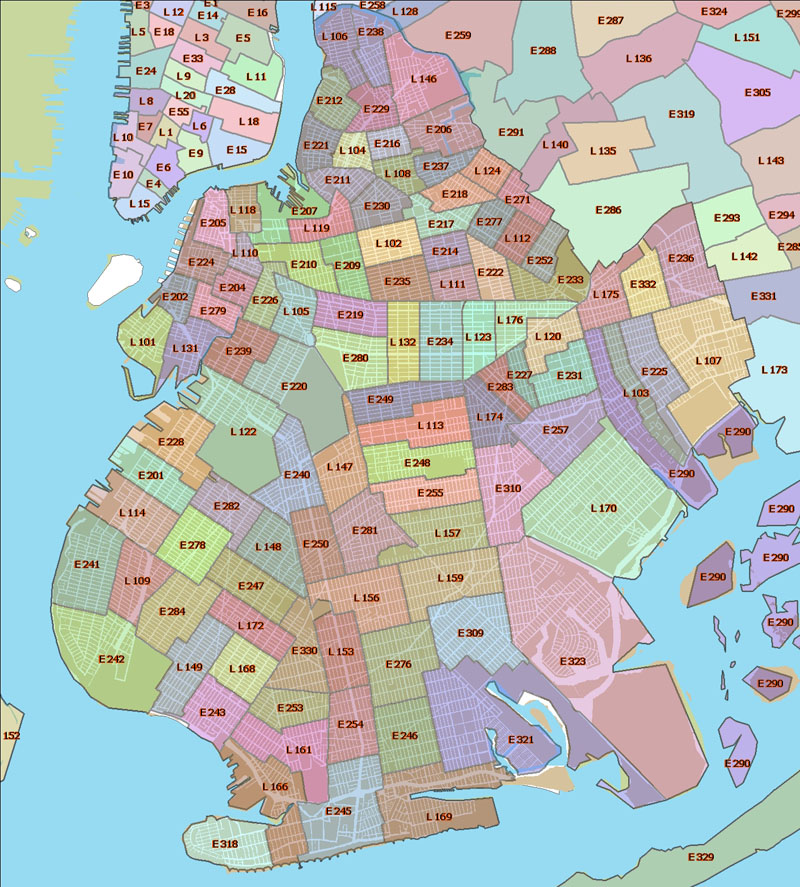
Brooklyn Fire Company Map
download the zoomable PDF map with streets here
all maps on crg are created by UNHP using ESRI's ArcView software and data from ESRI, LotInfo, and NYC Department of City Planning, ©2000-2008 by UNHP.