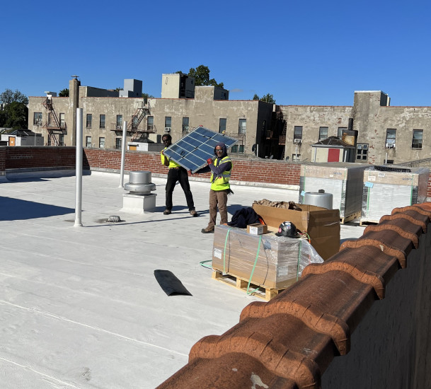
In 2023/4 UNHP realized its long-held dream of bringing solar power to our multifamily affordable housing portfolio. Thanks to a new refundable tax credit, competitive pricing, and State and City programs, solar technology has become more affordable and financially accessible. Seven UNHP multifamily buildings have installed solar photovoltaic arrays and UNHP hopes to add solar technology to another property by 2025.
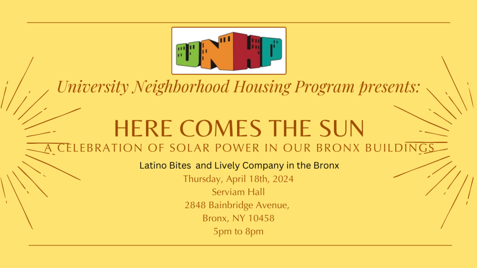
Join UNHP as a sponsor at UNHP’s Here Comes the Sun Fundraiser on Thursday, April 18th at Serviam Hall from 5 to 8 pm. Latino bites, non-stop sun songs, and sparkling company will be part of the evening that will highlight our work to bring solar technology to seven of our affordable housing buildings. Sponsorships and tickets are available.
The FDIC Chair, Martin J. Gruenberg was the featured speaker at a Manhattan College lecture co-hosted by UNHP. Mr. Gruenberg discussed his long tenure in public service and his journey from a child living in a Bronx apartment building to his current focus on Bronx multifamily buildings again as the Chair of the FDIC.
Every other Tuesday at the NWBRC by appointment starting January 9th, 2024
Call us at (718)933-2539
Seniors and tenants with disabilities call us at (718) 933 2539 for an eligibility appointment